|
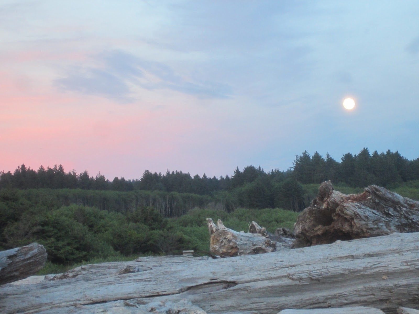
| Roadside view |
It was raining when I woke up on the coast in Oregon, but by
the time I’d showered and dressed, the sky had cleared just a little. I broke
down camp quickly, before the rain had a chance to start up again, and I headed
inland.
 This was a driving day, and I was indecisive about exactly
where to go and which routes to take to get there. All I knew is that I needed
to head south eventually. I inquired at a forestry office about trails, but
their area didn’t include the places I was interested in hiking. I wasn’t sure
if I even wanted to hike in Oregon, as I’d begun itching to get into
California.
This was a driving day, and I was indecisive about exactly
where to go and which routes to take to get there. All I knew is that I needed
to head south eventually. I inquired at a forestry office about trails, but
their area didn’t include the places I was interested in hiking. I wasn’t sure
if I even wanted to hike in Oregon, as I’d begun itching to get into
California.
I drove south in a non-linear way, following various scenic
highways. It was still raining, and I didn’t look forward to setting up in the
rain. I remembered there was another “clothing
optional” campground near Eugene, so I decided to check it out. I knew it had a
hot tub and a pool, and the camping fee was $10, so I couldn’t really go wrong.
I still felt really indecisive about where to go, so I decided I might as well
go there.

I got to the Willamettans around 7 p.m., and it was still
raining. I found a campsite and set up quickly. Once I was set up, I went to
the pool and hot tub. The pool was wonderful. Although it was cool and sprinkling,
the water was warm, and I floated around for a while. There was a man there
swimming laps, and we visited. He told me of a natural hot springs not too far
from where we were, and it happened to be on the road heading south. He told me
it was called Terwillinger Hot Springs, and that settled it for me. One of my
favorite essays, by Annie Dillard, is called “Terwillinger Bunts One.” I took
this as a sign. Plus it was really nice to have a specific destination in mind.
I finished the
evening with some time in the hot tub. There I met a man who is an arborist,
and we got into a big discussion about the differences between the Sequoias in
the Sierra Nevada and the Coastal Redwoods. He was a fascinating man and I
enjoyed our talk. I didn’t linger long there – I was tired and wanted to get
back to my tent, fix some dinner, and get in out of the rain.
It rained all night, and it didn’t quit for me to break camp
this time. I was able to break down the tent under the rainfly – quite a feat
if I do say so myself – and keep from getting everything too wet. I pulled out
the big golf umbrella I carry and hauled everything back to the car under that.
I also used it to shield the open places in the tent from the rain. Again, I
had to put everything in the car wet. I have to say, I was getting pretty tired
of the rain.

 I knew I was heading for the hot springs – colloquially called
Cougar Hot Springs for those unable to get their tongues around Terwillinger –
so I wasted no time. I found it on the map, and it was only an hour or so away.
The drive to the hot springs was on a forestry highway, and the view, as the
road ran along a deep canyon carved by a fast-running river, was spectacular. I
finally came upon a little sign declaring I’d found the hot springs. The
springs cost $6 to use, and the forestry service operates them. The man working
the admittance station was certain to inform me that these springs were “clothing
optional” so I wouldn’t be put off by what I might see there. I assured him I intended
to exercise the option.
I knew I was heading for the hot springs – colloquially called
Cougar Hot Springs for those unable to get their tongues around Terwillinger –
so I wasted no time. I found it on the map, and it was only an hour or so away.
The drive to the hot springs was on a forestry highway, and the view, as the
road ran along a deep canyon carved by a fast-running river, was spectacular. I
finally came upon a little sign declaring I’d found the hot springs. The
springs cost $6 to use, and the forestry service operates them. The man working
the admittance station was certain to inform me that these springs were “clothing
optional” so I wouldn’t be put off by what I might see there. I assured him I intended
to exercise the option. The walk down to the hot springs was about a third of a mile
long. It passed a lovely waterfall and then wound through what appeared to me
to be a rainforest; the trees dripped with moss and ferns lined the way. The
path was well developed, and apparently this spot is well-frequented.
The walk down to the hot springs was about a third of a mile
long. It passed a lovely waterfall and then wound through what appeared to me
to be a rainforest; the trees dripped with moss and ferns lined the way. The
path was well developed, and apparently this spot is well-frequented.
When I got to the hot springs, there were two young couples
there, all in bathing suits. With my new-found freedom, after saying hello to
them, I disrobed completely and entered the middle of the five pools.
The pools ranged in temperature from just over 100 degrees
at the hottest one to rather cool water in the coldest. The attendant had
suggested I start in the middle, which was like bath water. The people there
were all in the second-warmest, so I went to the empty middle pool.
 |
| After the dip |
 The pools were formed with smooth rocks that were easy to
navigate and at all different levels and depths. There were a variety of places
to sit and I fully emerged myself. It was quite an experience. I’ve always been
a little tentative in natural water, and here I was completely naked – I couldn’t
help but worry about my unprotected lady parts. I figured others did it with no
ill effects, so I should be able to too.
I was right. It was wonderful.
The pools were formed with smooth rocks that were easy to
navigate and at all different levels and depths. There were a variety of places
to sit and I fully emerged myself. It was quite an experience. I’ve always been
a little tentative in natural water, and here I was completely naked – I couldn’t
help but worry about my unprotected lady parts. I figured others did it with no
ill effects, so I should be able to too.
I was right. It was wonderful. As soon as the couples moved out of the warmer pool, I moved
up. They left after a while, and I was completely alone. It was heavenly. After
sitting in the fourth pool for a while, I moved up to try the hottest one. It
was also nice, but I couldn’t stay there as long and moved back down to the
fourth pool. It was there I was sitting when the next person arrived.
As soon as the couples moved out of the warmer pool, I moved
up. They left after a while, and I was completely alone. It was heavenly. After
sitting in the fourth pool for a while, I moved up to try the hottest one. It
was also nice, but I couldn’t stay there as long and moved back down to the
fourth pool. It was there I was sitting when the next person arrived.
Gary, as I came to know, was a wonderful gentleman in his
sixties. He disrobed and climbed into the pool with me. After our initial
pleasantries, he asked how long I’d been a nudist. I laughed and said,
“oh about two weeks.” We sat and talked for probably close to an hour, and I really enjoyed our conversation. As we visited, another couple came down. They were in their early thirties, and while he disrobed completely, she wore a little swimsuit cover and covered her bare breasts with her hands every time she was out of the water.
“oh about two weeks.” We sat and talked for probably close to an hour, and I really enjoyed our conversation. As we visited, another couple came down. They were in their early thirties, and while he disrobed completely, she wore a little swimsuit cover and covered her bare breasts with her hands every time she was out of the water.
Gary, who is a third-generation nudist, told her to relax
and just let it go, but she couldn’t quite do it. I admired her tattoos and we
talked a little about each of ours. They left just before I did, so we were
dressing at the same time. While I was giving Gary my contact information, she
overheard and said her last name had been Erickson too. They headed up the
trail as Gary and I finished talking, so I was surprised when I emerged from the
trail and saw the two of them – Melisa and her husband Jesse – walking back
toward the trail.
I asked them if they were going back for more, and Melisa
said, no, they were coming for me. I looked surprised I’m sure, and she told me
she’d locked her keys in her car. I ended up giving her a ride to cell service,
and we got to know each other on the ride down and back. She’s a lovely young
woman, and we are now Facebook friends. I love the connections I’m making here
on the road.
After getting them situated, I headed south down the
forestry road and wound through tall trees, over mountains, and alongside
rivers. These small, back country roads are the most enjoyable driving I’ve done.
There’s something every mile it seems to look at and appreciate. One of the
most memorable moments was when I noticed something, some small animal,
struggling along the road up ahead. I slowed and saw it was a brand-spanking
new faun, barely able to walk yet. I was witnessing it getting its legs for the
first time and scampering, a little wobbly, into the trees. I never saw the
mother, but she must have been close by. I was only sorry I didn’t have time to
take a picture.


My journey south would take me near Crater Lake, so I
decided I needed to drive by it again this year. It never occurred to me that
it’s more than a month earlier than I was there last year, and that it would be
quite different. I had read on Facebook a few weeks earlier that they had just
opened the North Rim road, and this opening was earlier than usual, but I never
put the two things together. I realized why when I approached the rim of the
lake.
I saw snow up ahead, and was surprised. I hadn’t seen snow
since I’d passed Mount Rainier from the highway, and a little on the high peaks
in Olympic, and I didn’t think I would see it at Crater Lake. But not only did
I see it up ahead, I drove through it. The road was bordered by snow almost the
entire way, and some of the drifts were still ten feet or more high. It was
surreal and ghostly not only because of the deep snow, but also because it was
raining and foggy and cold.
 |
| The lake is barely visible through the fog |
When I drove the Rim Road last year, I remember it being
harrowing because it is such a narrow road and there are steep drop-offs with
no guard rail. Imagine that being exacerbated by the rain and fog. The
temperature was about 40 degrees; I’d entered a whole different environment.
But still, the lake calls to me. There’s something about Crater Lake that
defies explanation. As my friend Marcella calls it – primordial. It was as
compelling as it was harrowing – and I was through the drive much sooner than I’d
anticipated. With the fog, I’d lost all sense of distance, and before I knew
it, I was headed down below the rim again. The rim is at about 7500 feet
elevation, and at the base it is about 3000 feet I believe, where there’s no
snow and it was 20 degrees warmer. I
could almost do the drive again. Almost.
I decided I wanted to camp a little farther south – both to
be farther on my way and to find warmer temperatures. I looked at the map and
saw a couple BLM campgrounds outside Klamath Falls. I headed there, not knowing
what I’d find. I passed through the small, kind of dirty town of Keno, Oregon,
and I wondered what the campground would be like, feeling a little apprehensive
about my safety. I was awfully near civilization, and that felt less safe for
some reason. I drove along, watching along the side of the road for signs of
the campground. I finally saw a sign for Topsy Recreation Area and saw the
familiar triangular tent symbol.
 |
| Driving in this with the fog, rain, and drop offs is not relaxing |
I drove up the winding dirt road till I came to the
campground. I need not have worried. (When will I learn that?) It was a lovely
little campground on the edge of a lake, and the camp hosts, an elderly couple originally
from Iowa, assured me there was plenty of room and that they locked the gates
at 9 p.m. and unlocked them at 6 a.m. for security purposes. It sounded
perfect.
 |
| The far side of Crater Lake - no snow to be seen |
I chose a campsite right on the lake. As I was looking at
it, a heron flew by, skimming the water. The only other camper was a man, Eric,
from about three hours south, as he put it. He was out on his bike, scouting a
route for a motorcycle ride later this summer, and taking some time for his “therapy”
– camping alone. We talked for a little while, and he suggested I hike at
Lassen Volcanic National Park. He explained how to get there to avoid the truck
route, and my agenda was set for the next day.
I enjoyed the star-filled sky for a while, lost the battle
to start a fire with my inferior wood, and retired for the night, grateful for the
first night in a while without rain.